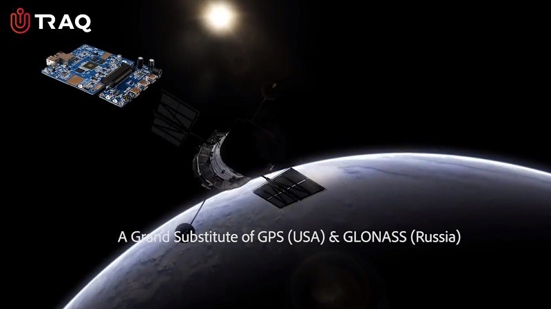
Right after the Kargil War in 1999 with Pakistan, there’s been a dire need of a navigation system that was developed in India. Why? Because during the war, India had asked for GPS data from the US to determine the position of Pakistani troops. But, India was denied that data. To reduce India’s dependence on foreign navigation systems, India’s ISRO (Indian Space Research Organization) developed IRNSS (Indian Regional Navigation Satellite System), and now today, the first module that’s based on IRNSS – called UTRAQ – has been launched.

UTRAQ is based on India’s own IRNSS, which means it doesn’t rely on data from American GPS satellites. It uses data that comes from IRNSS satellites hovering in the orbit. As a result, we get more accurate and reliable data.
There are actually two modules of UTRAQ – L100 GNSS and L110 GNSS. Both of these are manufactured by ST Microelectronics and are designed by Rama Krishna Electro Pvt. Ltd. in partnership with Shanghai Mobiltek. These modules can be used for different purposes like tracking, ranging, command, control and timing. Customers will be given samples of these modules in October, with commercialization expected in the next few months.
Coming back to IRNSS, this navigation system provides positioning data of region that extends 1500 km from India’s mainland (including mainland, of course). This area is called the Primary Service Area. There’s also an Extended Service Area that lies between the Primary Service Area and the area enclosed by the rectangle from Latitude 30-degree South to 50-degree North and Longitude 30-degree East to 130-degree East.
Following are some of the applications of IRNSS:
- Terrestrial, Aerial and Marine Navigation
- Disaster Management
- Vehicle tracking and fleet management
- Integration with mobile phones
- Precise Timing
- Mapping and Geodetic data capture
- Terrestrial navigation aid for hikers and travellers
- Visual and voice navigation for drivers
The constellation of IRNSS consists of seven satellites – three of which are located in geostationary orbit (GE)O), with the other four located in inclined geosynchronous orbit (GSO). IRNSS also provides two types of services – Standard Positioning Service (SPS) and Restricted Service (RS). SPS is provided to all the users and has accuracy of up to 10 meters, whereas, RS is an encrypted service and is only provided to authorized users – including military.
As Indians, we have high hopes from this system, and we expect to see this technology making its way to consumer products soon.
